

Providing accurate and precise land surveying across Florida.
Document Printing & Reprographic Services
Providing accurate survey data to our clients will ensure a successful project.
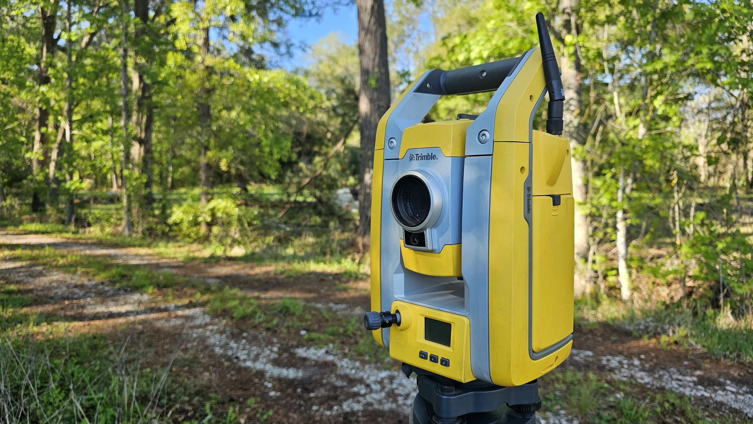
Here at Bartram Trail Surveying you can trust us for comprehensive survey and land developing services in Northeast Florida. As a leader in the field, we utilize only the best state-of-the-art equipment.

Professional Land Surveying
Our hard working professional survey teams provide the most accurate surveys needed for builders and engineers to design and build projects. Using advanced survey equipment and GPS technology, it is guaranteed that the survey you pay for is exactly what you are looking for. We pay attention to the details to make sure certifying and approving land development is safe and efficient to our clients.

Drone Technology
As one of the first in Northeast Florida, Bartram Trail Surveying, Inc. has been approved by the FAA to perform commercial UAV operations to further provide the most complete solution for your project, in addition to engineering, surveying, land development, consulting, and planning services.

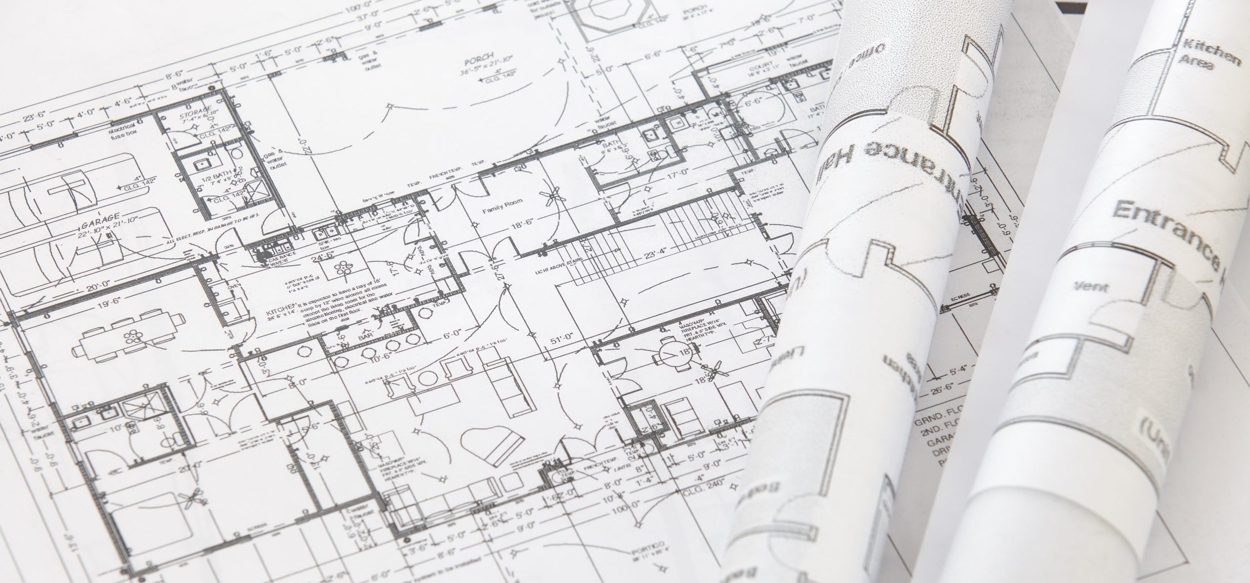
Drafting and GIS
With our technology, Bartram Trail Surveying, Inc. has the capacity to offer clients deliverables with the most proficient drafting software available. We have the ability to offer services on projects of many different scopes, from collection to consultation.

“Bartram Trail Surveying took care of everything I needed and made the process of obtaining my home so easy!”
— Anonymous
We are here for you!
Sign up to be the first to know about our events.