

Providing accurate and precise land surveying across Florida.
Best Land Surveyor in Clay County!
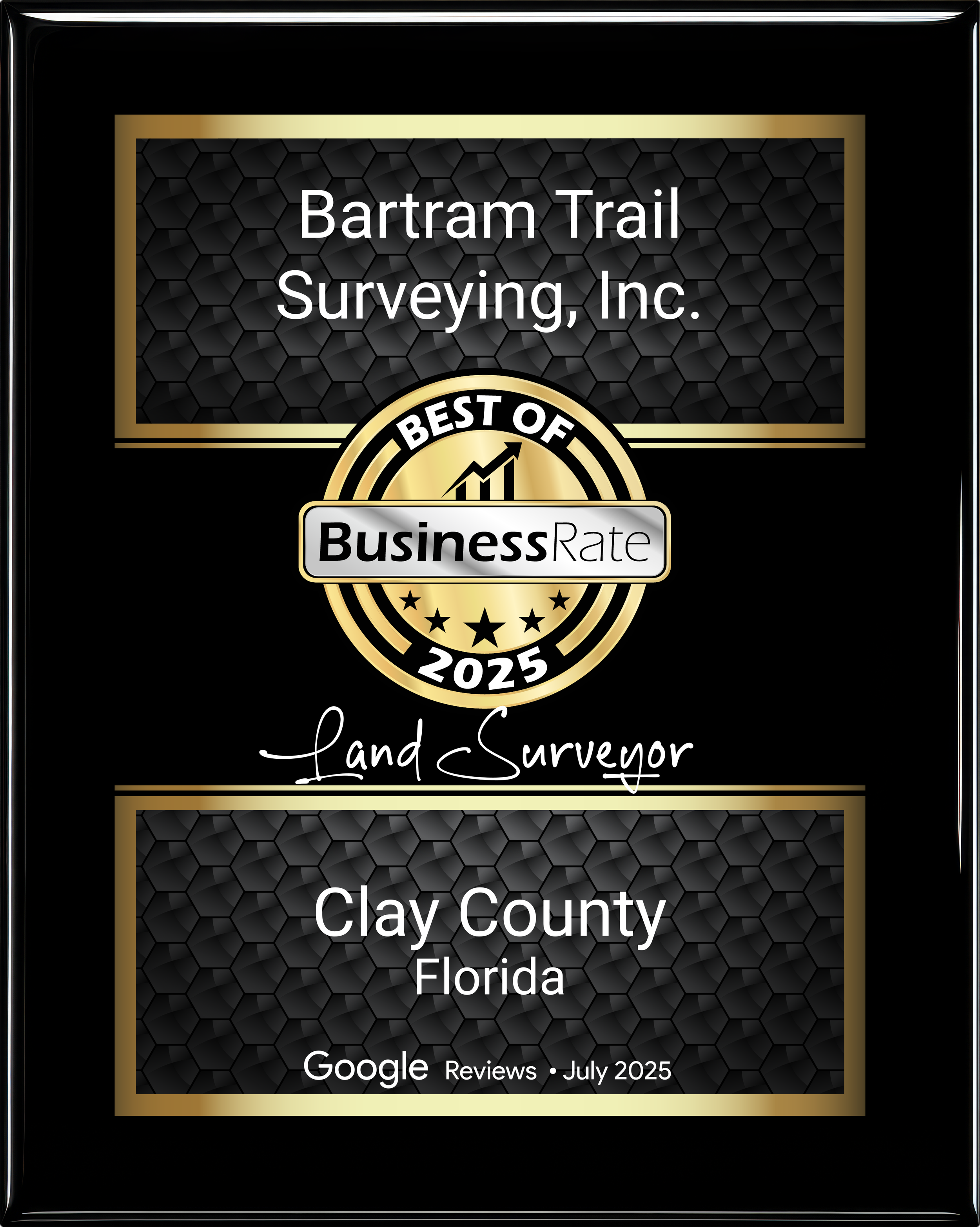
We are proud to announce that Bartram Trail Surveying, Inc. has been awarded the 2025 Best of BusinessRate distinction for Land Surveyors in Clay County, Florida.
This recognition is especially meaningful because it is based on real customer feedback, not paid placements or nominations. The award reflects the trust our clients place in us and the consistent quality of service we strive to deliver on every project.
Why This Matters
Earning the Best of BusinessRate 2025 award confirms what our clients have been telling us all along — that accuracy, communication, and dependability matter. As a local land surveying company serving Clay County and surrounding areas, we take pride in providing:
Precise and reliable survey work
Clear timelines and communication
Knowledge of local regulations and requirements
Professional service from start to finish
Thank You to Our Clients
This award would not be possible without the support of our clients who took the time to leave reviews and share their experiences. Your trust and feedback drive us to continually improve and uphold the highest standards in the surveying profession.
We are honored to be recognized as a 2025 Best of BusinessRate Land Surveyor and look forward to continuing to serve Clay County, Florida with integrity and precision for years to come.
If you’re considering a land survey for your property, we’d be proud to earn your trust as well.

Document Printing & Reprographic Services
Providing accurate survey data to our clients will ensure a successful project.
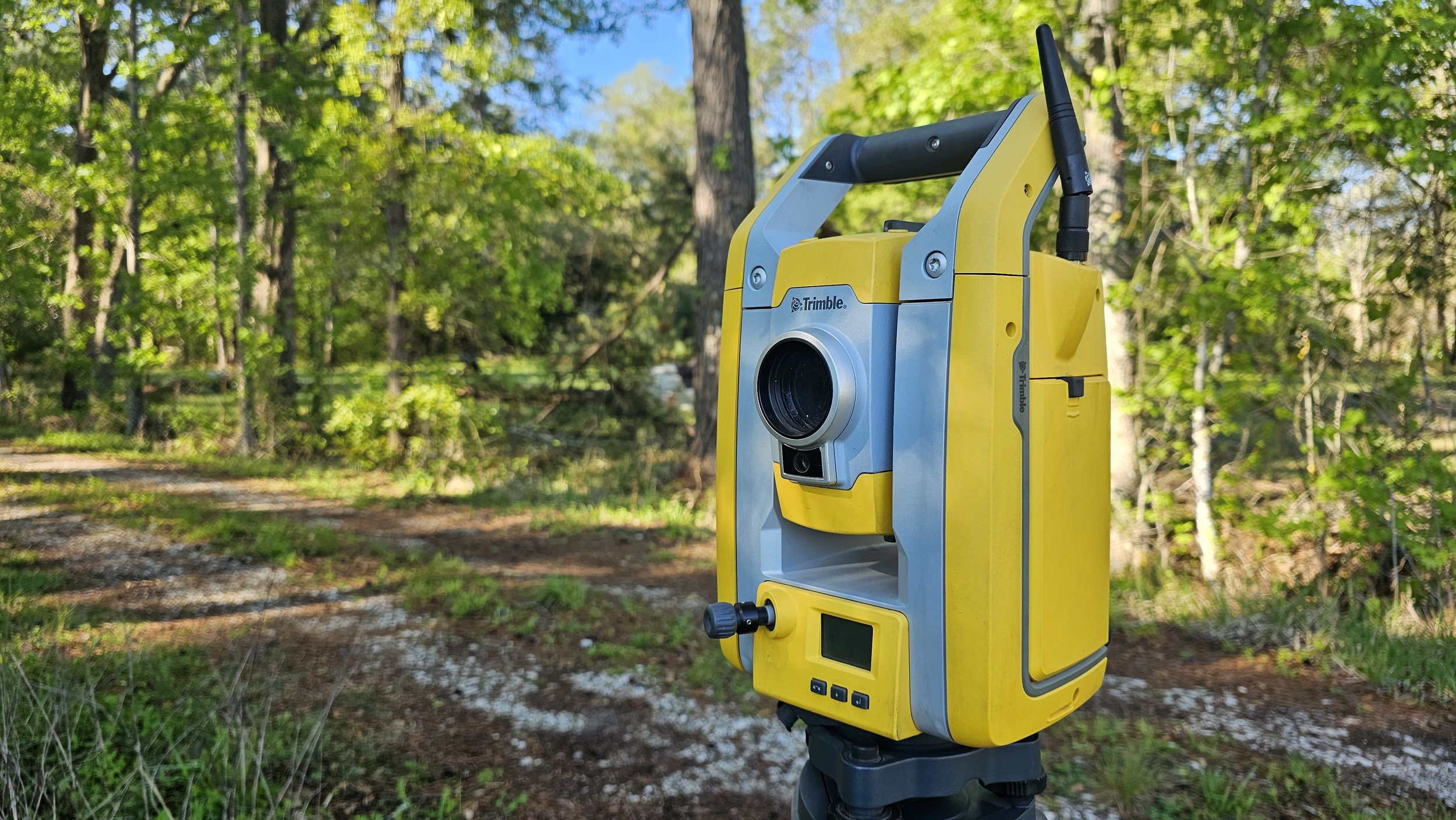
Here at Bartram Trail Surveying you can trust us for comprehensive survey and land developing services in Northeast Florida. As a leader in the field, we utilize only the best state-of-the-art equipment.

Professional Land Surveying
Our hard working professional survey teams provide the most accurate surveys needed for builders and engineers to design and build projects. Using advanced survey equipment and GPS technology, it is guaranteed that the survey you pay for is exactly what you are looking for. We pay attention to the details to make sure certifying and approving land development is safe and efficient to our clients.

Drone Technology
As one of the first in Northeast Florida, Bartram Trail Surveying, Inc. has been approved by the FAA to perform commercial UAV operations to further provide the most complete solution for your project, in addition to engineering, surveying, land development, consulting, and planning services.

Drafting and GIS
With our technology, Bartram Trail Surveying, Inc. has the capacity to offer clients deliverables with the most proficient drafting software available. We have the ability to offer services on projects of many different scopes, from collection to consultation.

“Bartram Trail Surveying took care of everything I needed and made the process of obtaining my home so easy!”
— Anonymous
We are here for you!
Sign up to be the first to know about our events.